
Image via Saildrone
Traversing the great vast ocean can be a perilous journey. It’s not easy for humans to get out there and brave the treacherous weather and the vicious turning of the tides. Yet, scientists and sea farm owners need valuable information about the waters they are studying and operating in.
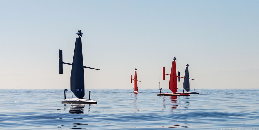
Earlier, a company called Saildrone released announced how its autonomous seagoing drone ‘Surveyor’ discovered a 3,200-foot tall sea mountain off the shore of Alaska. Now it is back, and this time it’s setting its ‘Voyager’ vessels for near-shore mapping.

Image via Saildrone
The Voyager is a 33-foot vehicle that resembles a windsurf rig. It will mainly be used for coastal and lake mapping. It’s outfitted with sonar equipment, traditional cameras, and radars that can help capture images of the sea up to a depth of 900 feet. Not only can it seek out uncharted areas, but it can also detect illegal dumping sites, drifting trash, and unregulated fishing and smuggling.
The metrics collected could be valuable to oceanographers and meteorologists. And with the rise of seaweed farms and other fisheries, companies like this could benefit from understanding the ocean through the Voyager.
Aside from all of this, as it doesn’t need a crew to man it, it can be sent out into inhospitable areas such as polar waters where it can go off and collect information for scientists without them having to venture out there themselves.
[via TechCrunch and Global Village Space, images via Saildrone]


More Stories
Will County, Illinois 1864 Map – May 20, 2023 at 04:14AM
This kid on Google Map trying to get by – April 27, 2023 at 05:05PM
World of Hyatt: Complete list of all-inclusive properties in Europe (with map) – April 27, 2023 at 04:57PM